NISAR Mission: Enhancing Earth Observation through Indo-US Space Cooperation
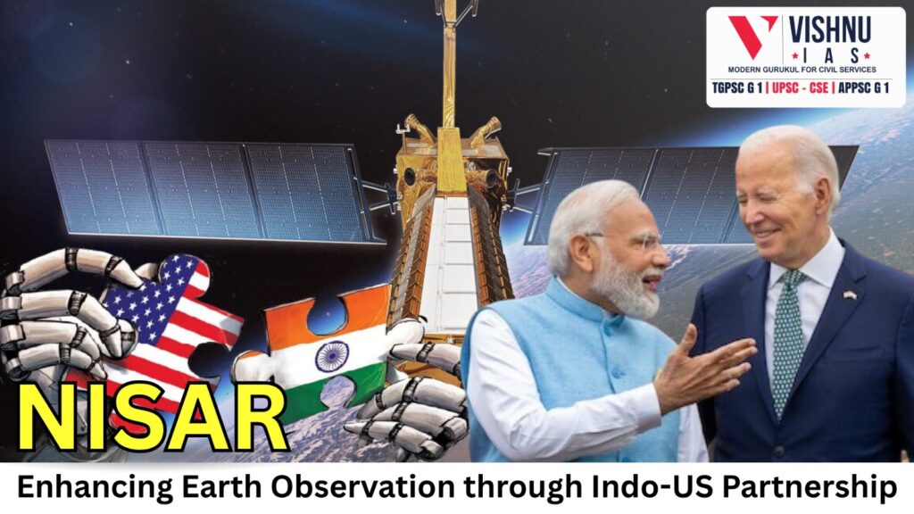
The NISAR mission (NASA-ISRO Synthetic Aperture Radar), launched on July 30 from Sriharikota, marks a decade of Indo-US space cooperation. Weighing 2.8 tonnes and armed with L-band and S-band radars, NISAR can detect surface deformations of a few centimetres through clouds and vegetation, ushering in a new paradigm in global Earth observation.
Significance of the NISAR Mission:
1. Scientific Significance
- Enables centimetre-scale mapping of ground deformation, glacier flow, biomass and land-use changes—even through clouds and vegetation.
- Sun-synchronous, dawn-dusk orbit with a 12-day repeat cycle yields consistent lighting for precise time-series analyses of geological and cryospheric processes.
- Dual-band (L- and S-band) SAR data improve penetration depth and sensitivity, supporting disaster risk reduction (Sendai Framework) and refining climate models under IPCC assessments.
2. Technological Significance
- First mission to integrate an ISRO-built S-band radar with a NASA-built L-band radar on a single platform, advancing dual-frequency SAR capabilities.
- Validates the matured performance of the GSLV Mk II “workhorse” launcher after earlier developmental hiccups, boosting India’s heavy-lift credibility.
- Pushes the envelope in RF electronics, thermal control and high-throughput onboard data handling to manage terabit-scale downlinks.
3. Diplomatic Significance
- Reinforces India’s reputation as a reliable partner for high-value space hardware integration and complex mission schedules.
- Facilitates deeper technology transfer, co-design and joint mission management, laying groundwork for future multilateral endeavours.
- Strengthens strategic Indo-US ties in an era where space cooperation underpins broader geopolitical alignment.
Challenges:
- Inadequate Ka-band ground station coverage and limited automation in SAR data processing impede near-real-time product delivery.
- Domestic gaps in advanced materials, deep-space communication links and end-to-end systems-engineering capacity slow progress toward full mission parity.
- Absence of finalized data-sharing policies delays private-sector analytics and may hamper timely decision-support for disaster management and resource planning.
- Need for clear roadmaps on follow-on SAR missions to ensure continuity of long-term time-series observations beyond NISAR’s operational life.
Suggested Measures:
- Expand and upgrade Ka-band ground networks; establish automated, cloud-based processing pipelines to deliver analysis-ready products within hours.
- Ramp up R&D investments in advanced composite materials, deep-space communication architectures and integrated systems-engineering programs.
- Fast-track policy frameworks that define open data access, intellectual-property safeguards and security protocols to stimulate private analytics without compromising sensitive scenes.
- Secure approvals and funding for follow-on SAR missions by 2030; involve Indian scientists and engineers early in mission formulation to build domestic leadership.
- Promote skill-development initiatives in SAR data interpretation and applications across academia, startups and government agencies to maximize societal benefits.
Conclusion:
NISAR exemplifies how scientific ambition, technological prowess and diplomatic synergy can converge to address global challenges. To fully exploit its promise, India must scale up infrastructure, deepen domestic R&D and craft robust data-governance frameworks—thereby ensuring sustained benefits for science, society and strategic partnerships.