
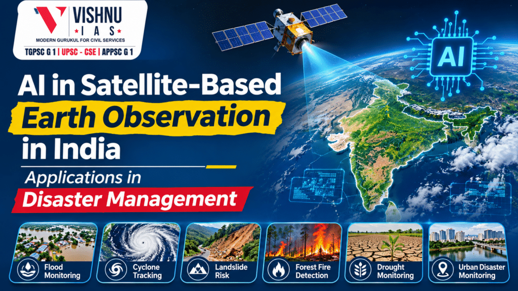
AI in Satellite-Based Earth Observation in India: Applications in Disaster Management
Introduction
AI in satellite-based Earth observation in India is transforming the way satellite data is analysed and utilised for disaster management. Artificial Intelligence (AI) enables faster analysis of vast satellite images. It identifies patterns that humans may overlook. When integrated with Geographic Information Systems (GIS), drones and ground-based sensors, AI strengthens disaster prediction, preparedness and response. For a disaster-prone country like India, this offers significant opportunities.
Body
I. Applications of AI in Satellite-Based Earth Observation and Disaster Management
1. Improved Satellite Image Processing and Analysis
AI algorithms process large volumes of satellite images quickly. They identify changes in land use, vegetation, water bodies and infrastructure. Machine learning also helps remove noise and improve image clarity. This makes satellite information more accurate and useful.
2. Flood Monitoring and Prediction
AI analyses rainfall, river levels, soil moisture and satellite images. It helps identify flood-prone areas and estimate possible inundation. It can also map affected settlements and infrastructure.
3. Cyclone Tracking and Impact Assessment
AI can analyse satellite observations and atmospheric patterns. It helps improve cyclone intensity and movement predictions. It also identifies areas likely to experience storm surges and coastal inundation. This supports timely evacuation and disaster preparedness.
4. Landslide and GLOF Risk Assessment
AI combines satellite imagery with slope, rainfall and geological data. It identifies vulnerable slopes and potential landslide zones. It can also monitor glacial lakes and assess the risk of Glacial Lake Outburst Floods (GLOFs).
5. Forest Fire Detection and Monitoring
AI can analyse thermal and satellite imagery. It helps detect active fires and monitor their spread. It also identifies forest areas with high fire vulnerability. This enables forest departments to deploy firefighting teams quickly.
6. Agricultural Drought Monitoring
AI analyses vegetation indices, soil moisture and rainfall patterns. It identifies crop stress and drought-affected regions. This supports crop-loss assessment and agricultural planning. It can also improve crop-yield estimation and insurance assessment.
7. Urban Disaster and Infrastructure Monitoring
AI detects changes in urban land use and construction patterns. It identifies settlements in flood-prone areas. It can also assess damage to roads, bridges and buildings. This supports urban planning and post-disaster rehabilitation.
8. Faster Information Through In-Orbit Computing
Satellites can process selected data before transmitting it to Earth. AI can filter cloud-covered images and prioritise disaster-affected areas. For example, flood-related images can receive priority over routine observations. This reduces transmission delays and supports faster decisions.
II. Applications and Initiatives in India
1. ISRO's Disaster Management Support Programme
The National Remote Sensing Centre (NRSC) uses satellite data for disaster monitoring. It provides near-real-time information on floods, cyclones, landslides and forest fires. AI and advanced data analytics can further improve these services.
2. National Database for Emergency Management (NDEM)
NDEM provides a GIS-based national database. It supports disaster-related decision-making by authorities. Its services include flood-risk information and forest-fire vulnerability analysis. It also integrates information from different agencies.
3. AI-Based Lightning Nowcasting
India has used AI with data from the Light Detection Sensor Network and Indian Regional Satellite observations. This supports lightning nowcasting and improves early warning capabilities. It is particularly useful for reducing lightning-related deaths.
4. AI-Based Crop Mapping Through SASYA
ISRO developed the AI-based crop mapping tool SASYA. It uses C-band Synthetic Aperture Radar data from EOS-04. The tool supports crop identification and monitoring. It has been integrated into NRSC's BHOONIDHI geoportal.
5. Machine Learning for Crop-Yield Estimation
ISRO has developed machine learning-based crop-yield models. These support the Yield Estimation System based on Technology (YES-TECH) under PMFBY. Such methods can reduce excessive dependence on manual Crop Cutting Experiments.
6. Satellite-Based Flood Early Warning
ISRO has developed spatial flood early-warning systems. These support flood forecasting in river basins. In 2025, operational flood early warning covered parts of the Brahmaputra, Godavari and Tapi basins. AI can further improve forecasting through multi-source data analysis.
7. Satellite-Integrated Landslide Assessment
India is developing satellite-integrated landslide assessment and alert systems. These combine Earth observation with terrain and other relevant information. AI can strengthen hazard identification and risk assessment in vulnerable regions.
III. Challenges in Adopting AI for Earth Observation
- Satellite observations must be verified through field data. Weak coordination between agencies can reduce accuracy.
- India's geography and climate are highly diverse. AI models trained in one region may not perform equally well elsewhere.
- AI-based processing requires computing infrastructure and skilled personnel. High-resolution data processing can also be resource-intensive.
- Incorrect predictions may affect evacuation and relief decisions. Human verification and transparent decision-making remain essential.
IV. Way Forward
- ISRO, NRSC, IITs and Indian startups should collaborate. This can develop AI models suited to Indian geographical conditions. Local administrations must receive timely and understandable alerts.
- Satellite imagery should be combined with drones, weather stations and ground sensors. This improves the reliability of predictions.
- Edge computing and in-orbit processing should be explored. They can reduce delays in transmitting critical information.
- AI predictions should support administrative decisions. They should not completely replace expert assessment.
Conclusion
AI is transforming satellite data into actionable information. It can shift India from reactive disaster management towards predictive and preventive governance. However, its success depends on reliable data, indigenous technology and institutional coordination. The integration of AI, satellites and ground-level response systems can strengthen India's disaster resilience.